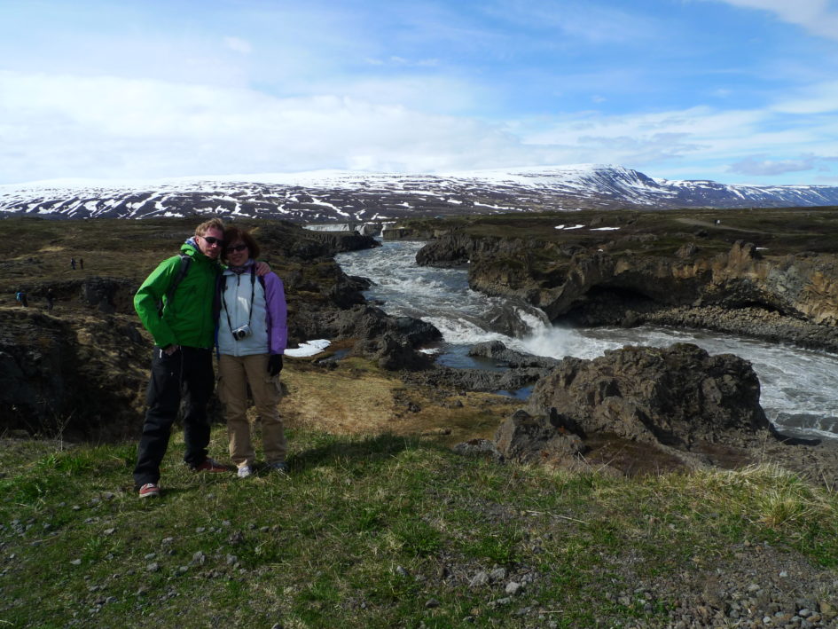
Today has been another driving day. We left Lake Myvatn in the morning, heading westward making a couple of stops along the way. The first stop was Godafoss or God’s Waterfall in English; the name is quite appropriate, but it also makes me wonder, if this is what a relatively unknown place on Iceland has to offer, how mighty is not something like the Niagara falls.
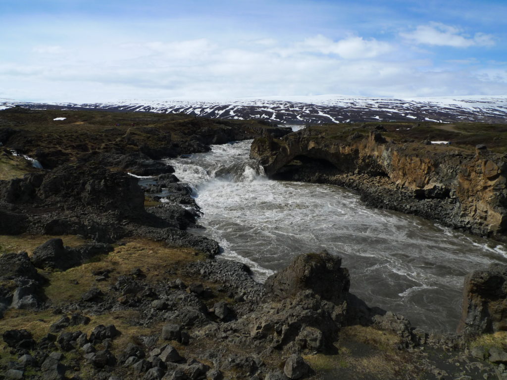
First glimpse of the falls. 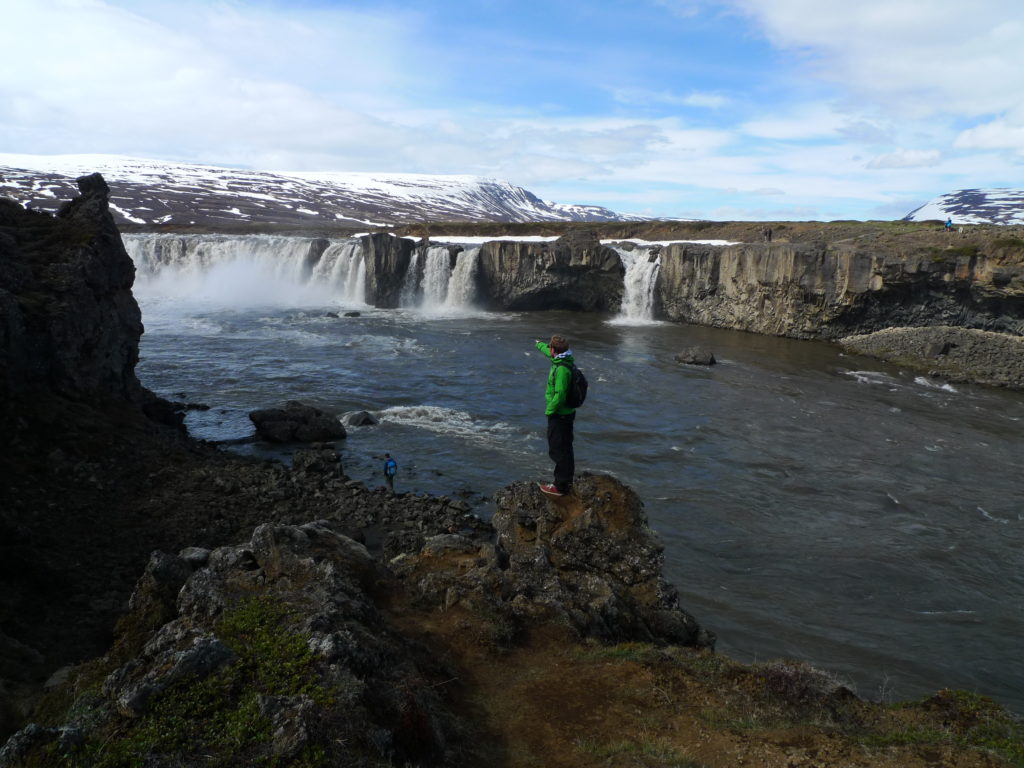
Explorer mode 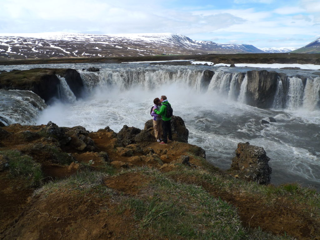
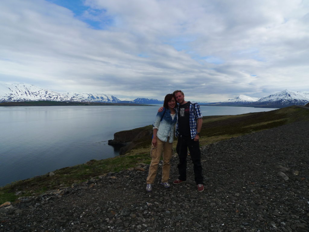
Kissing in front of the waterfall
We drove on through very gently sloping fields and pastures, a fjord a little way off and as always mountains in the distance, and came down to the bottom of the fjord and Iceland’s second biggest city Akureyri. We stopped for lunch there but it’s not all that much to see, just a quaint small town kind of place with a few more shops than normal.
Because we had plenty of time and thought there would be more to see, we took the coast road out from Akureyri, following the other side of the fjord out towards the tip where the terrain is decidedly more rugged, jagged peaks tumbling into the North Sea, the road clinging on precariously.
Along the way out from the fjord 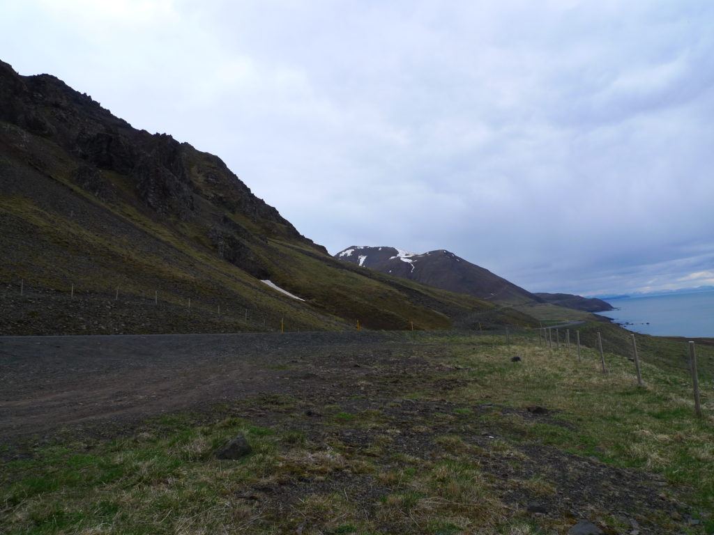
The rugged scenery near the mouth of the fjord
Close to the tip, we passed through a few larger fishing villages then cut straight through several mountain ranges using tunnels that were so narrow that only one car could pass at a time. In the tunnels there were meeting points here and there along the way where we stopped as soon as we saw oncoming lights, that was scary.
Once we had rounded the the tip of the peninsula, we headed south again along the east side of the next fjord with only one stop at a sort of island connected to land by two long arms, or land bridges.
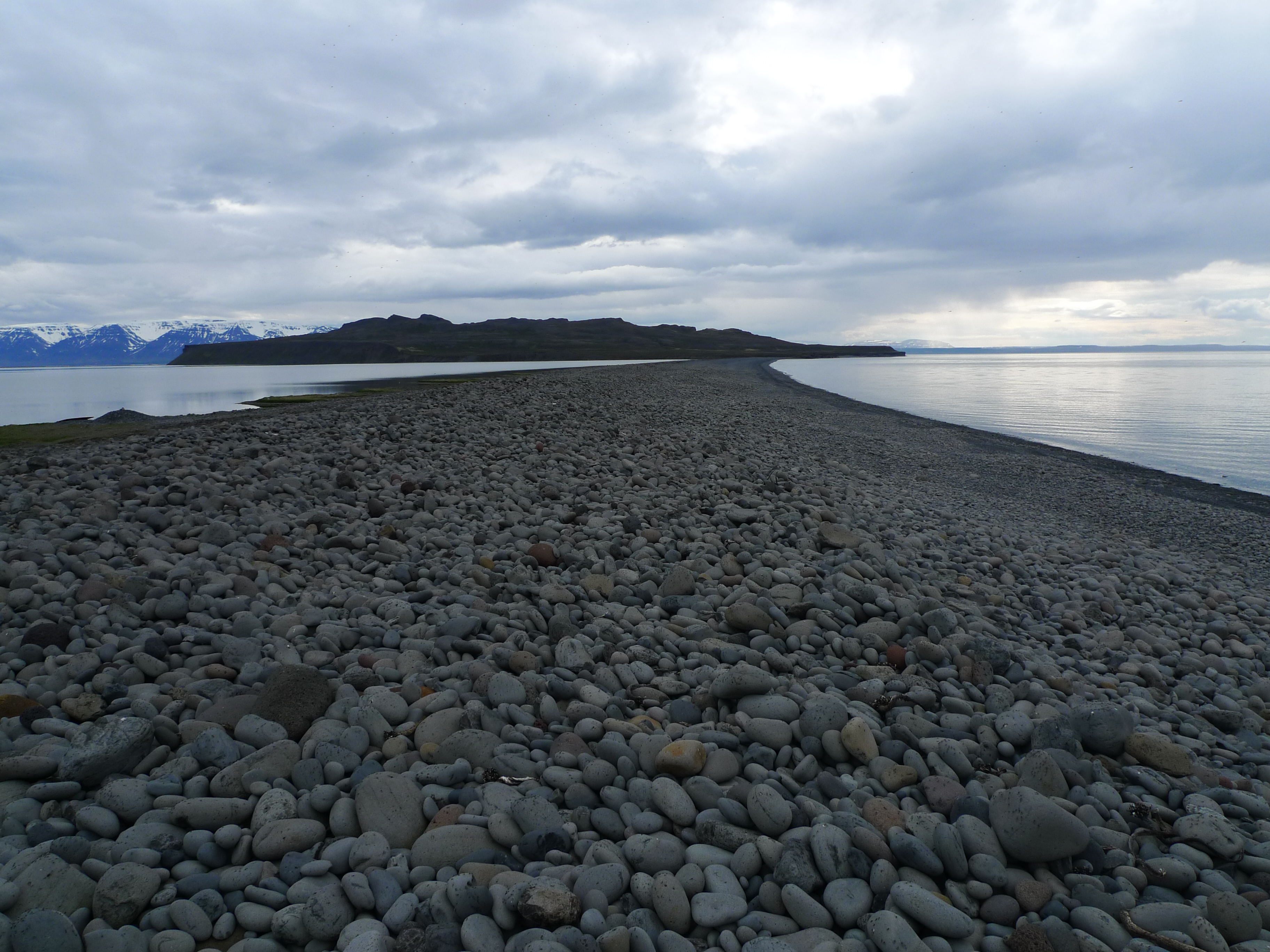
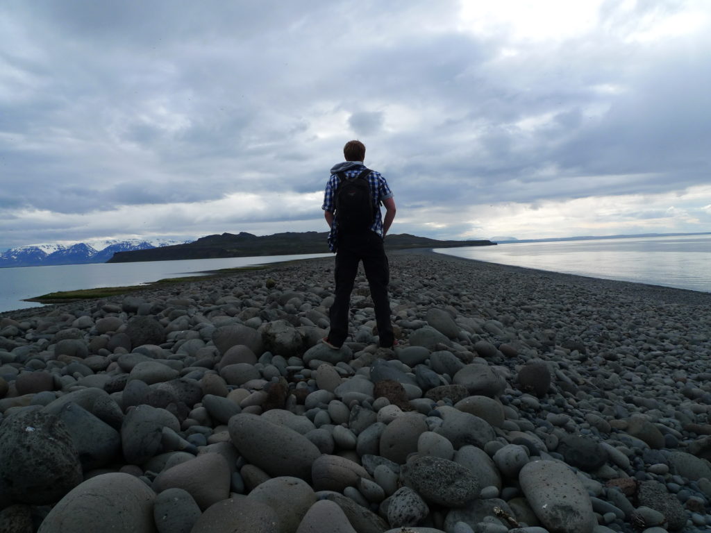
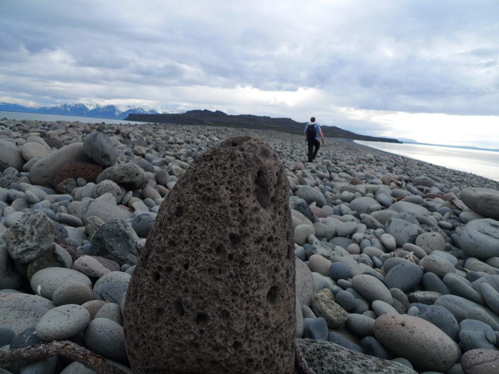
Renegade Tourist exploring the land bridge.
There were quite a lot of bugs out there. They didn’t bite or anything but where still kind of annoying when they came in big swarms and buzzed around your head. Because of this we didn’t go all the way out to the islands, but only explored the area closest to the road. From there it was only a couple of kilometres to out guesthouse for the night, without much else to see along the way.
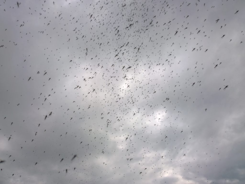
Swarm of bugs when exploring the land bridge to island. 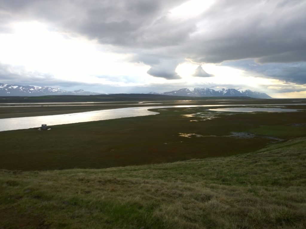
The view from our guesthouse just to end on something nicer than a swarm of bugs
Leave a Reply